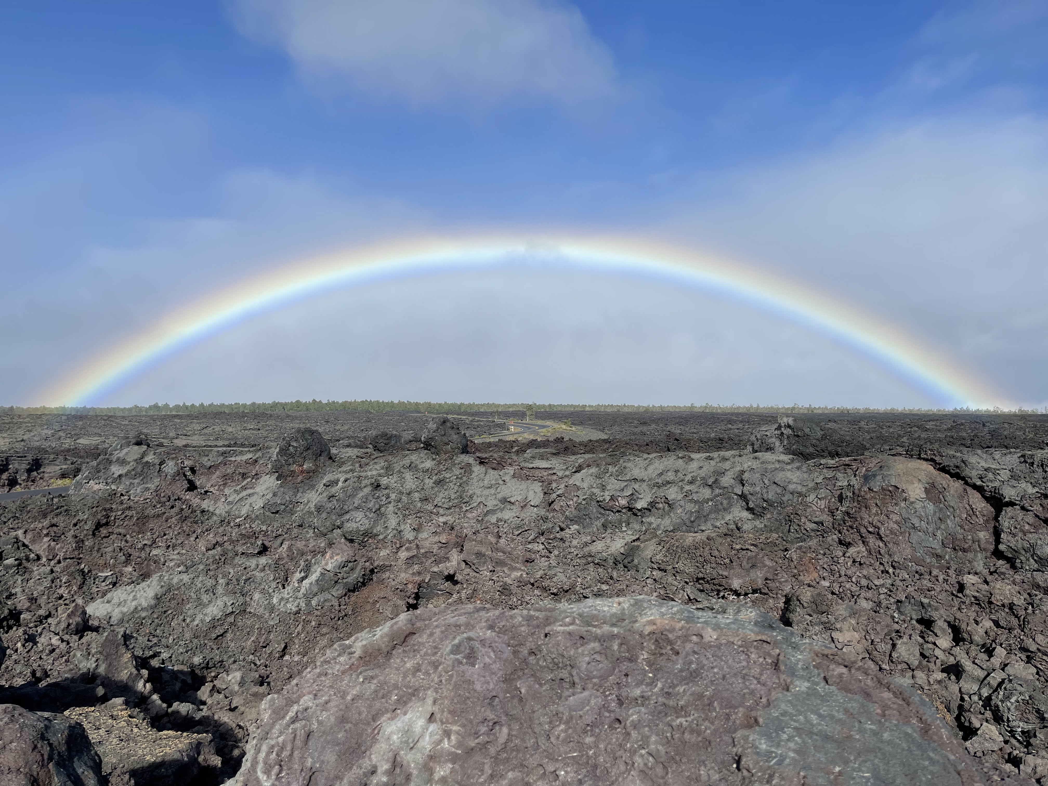
How the Big Island of Hawaiʻi Was Formed: Volcanoes & Hotspots
Ever wondered how the massive island of Hawaiʻi came to be? The story is a dramatic tale of fire and earth, written over millions of years by a stationary volcanic hotspot deep beneath the Pacific Ocean.
The island of Hawaiʻi is a place of primal, elemental power. It’s an island that is actively, visibly growing, a landscape shaped by forces deep within the Earth. To understand the Big Island is to understand its geology, a story of a relentless volcanic hotspot and the slow, steady march of the Pacific Plate over millions of years.
Unlike island arcs formed by colliding tectonic plates, the Hawaiian archipelago is a classic example of hotspot volcanism. The island you stand on today is simply the youngest in a very, very long chain of volcanic islands, all born from the same fiery source.
The Hawaiian Hotspot: An Unmoving Engine of Creation
Deep beneath the Pacific Ocean, some 1,800 miles below the Earth's crust, lies a plume of superheated magma known as the Hawaiian hotspot. Think of it as a giant, stationary blowtorch aimed at the planet's surface. For at least 85 million years, this hotspot has been punching through the oceanic crust, releasing immense volumes of lava.
The key to understanding Hawaiʻi's formation is that while the hotspot stays in one place, the massive Pacific Plate drifts slowly but inexorably over it, moving to the northwest at a rate of about 3-4 inches per year—roughly the speed at which your fingernails grow.
As the plate moves, the hotspot's magma creates a volcano. Over hundreds of thousands of years, this volcano grows, eventually breaking the ocean surface to form an island. But as the plate continues its journey, it carries the newly formed island away from the hotspot. Cut off from its magma source, the volcano goes dormant and eventually becomes extinct. Meanwhile, the hotspot begins building a new volcano on the stretch of plate that has moved over it. This process, repeated over geologic time, has created the entire Hawaiian-Emperor Seamount Chain.
Building an Island, One Layer at a Time
Hawaiian volcanoes are known as shield volcanoes. They don't have the classic, steep conical shape of a Mount Fuji or Mount Rainier. Instead, they are broad, gently sloping mountains that resemble a warrior's shield lying on the ground. This shape is a direct result of the type of lava they produce.
Hawaiian lava is basaltic, which means it's very fluid and has a low viscosity. When it erupts, it doesn't explode violently into the sky. Instead, it flows for long distances, building up the volcano in thousands of thin, successive layers. These gentle, effusive eruptions are what create the massive, sprawling mountains that form the Big Island.
According to the U.S. Geological Survey (USGS), more than 99% of the island's volume is made of this type of lava rock. It's a slow, patient construction project on a planetary scale.
The Five Volcanoes of Hawaiʻi Island
The Big Island isn't a single mountain; it's a composite of five distinct shield volcanoes, each at a different stage of its life.
Kohala
The northernmost and oldest volcano, Kohala, is extinct. Its last eruption was about 120,000 years ago. After it was carried off the hotspot, erosion took over. Massive landslides have carved away its northeastern flank, creating the spectacular, deeply incised valleys of the North Kohala coast, like Pololū and Waipiʻo.
Mauna Kea
To the south lies Mauna Kea, a dormant volcano that is the tallest mountain on Earth when measured from its base on the ocean floor to its summit—a staggering 33,500 feet. Its summit last erupted around 4,500 years ago. Because its peak sits above the cloud layer in dry, stable air, it's one of the world's premier sites for astronomy. Visiting the summit for sunset and stargazing is an unforgettable experience.
Hualālai
Overlooking Kailua-Kona on the west side of the island, Hualālai is also considered dormant, but it is not extinct. Its most recent eruption was in 1801, with lava flows that are now home to the Kona International Airport. The USGS considers it an active volcano that will erupt again, though not on a human-scale timeline. Its slopes are famous for producing world-class Kona coffee.
Mauna Loa
Literally meaning "Long Mountain," Mauna Loa is the largest active volcano on the planet. It makes up more than half of the Big Island's landmass. Its sheer scale is hard to comprehend. After a 38-year slumber, Mauna Loa erupted in late 2022, reminding residents of its immense power. Its gentle slopes are vast and its eruptions can produce huge volumes of lava, but they are typically not explosive.
Kīlauea
Located on the southeastern flank of Mauna Loa, Kīlauea is the youngest and most active of the island's terrestrial volcanoes. For decades, it was in a state of near-constant eruption, creating and reshaping the land. The 2018 eruption in the lower Puna district was a dramatic recent example of its power. Kīlauea is the star attraction of Hawaiʻi Volcanoes National Park, where visitors can (safely) witness the results of its activity, from steaming vents and sulfur banks to vast craters and fields of fresh lava rock.
A Chain of Islands: The Emperor Seamounts
The Big Island is just the latest creation of the hotspot. To the northwest stretches the Hawaiian Archipelago—Maui, Oʻahu, Kauaʻi, and so on—each island progressively older, more eroded, and lower in elevation. This chain continues far beyond the main islands, becoming a series of underwater mountains known as the Emperor Seamounts, stretching nearly 4,000 miles across the Pacific floor.
There's a famous "bend" in the chain, where the line of seamounts abruptly changes direction. Geologists believe this marks a point about 47 million years ago when the Pacific Plate changed its direction of movement. This underwater mountain range is a perfect geological map of the plate's journey over the hotspot.
What's Next? The Future of Hawaiʻi Island
The story of creation is far from over. The Big Island is still firmly planted over the hotspot, so Mauna Loa and Kīlauea will continue to erupt, adding new land to the island for many thousands of years.
At the same time, the forces of erosion are at work, and the island is slowly sinking under its own immense weight. The older northwest coast is already subsiding, while the active southeast coast is being built up.
Even further to the southeast, about 22 miles off the coast, the next Hawaiian island is already being born. Kamaʻehuakanaloa (formerly known as Lōʻihi Seamount) is an active submarine volcano. Its summit is currently about 3,200 feet below the ocean surface. According to USGS estimates, it could break the surface in another 10,000 to 100,000 years. Your distant descendants might one day be able to set foot on it.
Witnessing Creation in Person
One of the most profound experiences you can have on the Big Island is seeing this geology firsthand. The best place to do this is at Hawaiʻi Volcanoes National Park. Here you can drive the Crater Rim, walk across the floor of the Kīlauea Iki crater, see steam rising from the ground, and gaze into the immense Halemaʻumaʻu crater.
Depending on volcanic activity, you may even have the chance to see a live eruption or the glow of a lava lake at night—a truly awe-inspiring sight. Check the National Park Service (NPS) website for the latest viewing information. Understanding the deep time and powerful forces that built the ground beneath your feet transforms a simple vacation into a journey to the heart of creation. For those seeking to explore this unique landscape in comfort, a well-planned itinerary can make all the difference, and you can find excellent planning resources at highendhawaii.com.
Related Posts:
- A Visitor's Guide to Hawaiʻi Volcanoes National Park (/blog/visiting-hawaii-volcanoes-national-park)
- Stargazing on Mauna Kea: A Guide to the Heavens (/blog/stargazing-mauna-kea)
- Understanding the Kīlauea Eruption: What Travelers Need to Know (/blog/kilauea-eruption-guide)