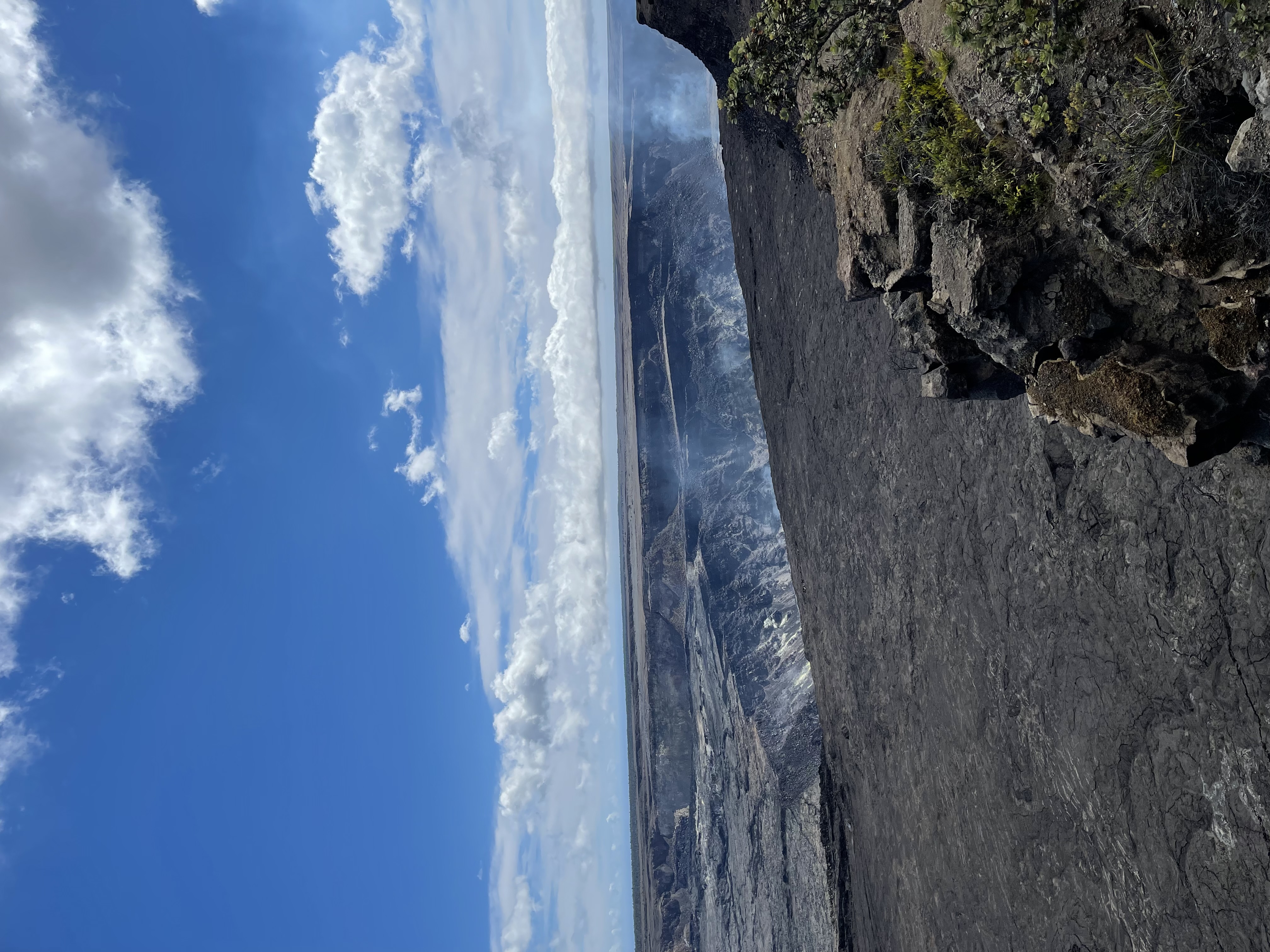
Chain of Craters Road: A Complete Guide to This Epic Drive
This dramatic 19-mile road descends 3,700 feet from the summit of Kīlauea to the sea, offering breathtaking views, incredible hiking, and a journey through recent volcanic history.
Chain of Craters Road is one of the most dramatic and scenic drives in all of Hawaiʻi. Descending 3,700 feet in just 19 miles, this road takes you from the misty summit of Kīlauea, through starkly beautiful lava fields, and down to the rugged, wave-battered coast. It’s not just a drive; it’s a journey through the geological heart of Hawaiʻi Volcanoes National Park, revealing the raw power of creation and destruction.
Unlike many scenic drives, this one has no towns, shops, or services. It is a one-way trip down and back, a pure immersion into a volcanic landscape that is constantly changing. For visitors looking to understand the scale and history of Kīlauea, there is no better experience.
Planning Your Drive on Chain of Craters Road
Success on this drive is all about preparation. The road is located entirely within Hawaiʻi Volcanoes National Park, so you'll first need to pay the park entrance fee. Once you turn off Crater Rim Drive, you are committing to the journey.
Key things to know before you go:
- No Services: There is no food, water, or gasoline available along the entire 38-mile round trip. Fill up your gas tank in Volcano Village or Hilo and bring an ample supply of water and snacks for everyone in your group.
- Time Commitment: Driving the road straight down and back without stopping takes about 90 minutes. However, to truly experience it, you should plan for a minimum of 3 to 4 hours. If you plan to hike the Puʻuloa Petroglyphs trail, add another 90 minutes.
- Facilities: Vault toilets are available at the Mauna Ulu parking area and at the end of the road near the Hōlei Sea Arch. There are no flush toilets or running water.
- What to Bring:
- Full water bottles
- Snacks or a picnic lunch
- Sunscreen, sunglasses, and a hat (the sun is intense on the black lava)
- Rain gear (weather changes rapidly)
- Sturdy, closed-toe walking shoes
- A fully charged phone and camera
Notable Stops Along Chain of Craters Road
The drive is marked by numerous pullouts and viewpoints, each offering a different perspective on Kīlauea's eruptive history. The road begins just past the turnoff for the Devastation Trail, about 3 miles south of the Kīlauea Visitor Center. Here are the must-see stops in descending order.
Lua Manu Crater
Mile 0.5 This is your first pit crater, a stark, steep-walled depression formed when the ground collapsed above a drained magma chamber. It’s a quick stop and a great introduction to the volcanic features you're about to see.
Puhimau Crater
Mile 1.5 About five times larger than Lua Manu, Puhimau is a massive pit crater. A short walk to the overlook reveals its impressive scale. The name translates to "everlasting fire," though its floor is now revegetated with native grasses and ʻōhiʻa trees.
Pauahi Crater
Mile 4.5 A large, elongated crater that last erupted in 1973. The overlook provides a fantastic view into its depths. This area marks the beginning of the Mauna Ulu flow field, which dramatically reshaped this part of the park between 1969 and 1974.
Mauna Ulu Trailhead
Mile 5.0 This is a major stop and the trailhead for one of the park's most interesting hikes. Mauna Ulu ("growing mountain") is a lava shield that formed during the 1969-1974 eruption. Even if you don't do the full hike, you can walk a short distance on the trail to see unique volcanic features like lava trees and a landscape that feels otherworldly.
Kealakomo Overlook
Mile 9.5 This is arguably the most breathtaking viewpoint on the entire drive. The road reaches the top of the Hōlei Pali (cliff), and the view opens up to a vast panorama of the coastline and the Pacific Ocean. You can see where ancient and modern lava flows have poured over the pali and reached the sea. It's a fantastic spot for a picnic lunch.
Alanui Kahiko Overlook
Mile 15 This pullout offers a view of the "old road" (Alanui Kahiko), a section of the original Chain of Craters Road that was buried by a lava flow in 1971. It's a stark reminder of how Pele, the Hawaiian goddess of volcanoes, dictates the landscape here.
Hiking on Chain of Craters Road
While the drive itself is spectacular, getting out of your car and onto the lava is essential for a complete experience. Two main trails offer vastly different experiences.
Puʻuloa Petroglyphs Trail
Mile 16.5 This is the most popular hike on the road and for good reason. A 1.4-mile round trip trail leads across a pāhoehoe lava field to Puʻuloa, one of the most extensive petroglyph fields in Hawaiʻi. It contains over 23,000 kīpuka (rock carvings), including representations of family, travel, and life. The trail is marked by rock cairns (ahu) and can be very hot and windy. Wear sturdy shoes, bring water, and go early or late in the day to avoid the midday sun.
Mauna Ulu Trail
Mile 5.0 For more adventurous hikers, the trail to Mauna Ulu offers a rugged trek across a young lava landscape. The first part of the trail is relatively easy and leads to Puʻu Huluhulu, a forested cinder cone with commanding views of Mauna Ulu and, on a clear day, the distant Puʻu ʻŌʻō crater. The full hike is more strenuous and should only be attempted by experienced hikers with proper gear. Always check current conditions at the visitor center before hiking here.
The End of the Road & Hōlei Sea Arch
Mile 19 Chain of Craters Road abruptly ends where a massive lava flow from the 2018 Kīlauea eruption crossed and buried it. A simple turnaround loop marks the terminus. From the parking area, a short walk leads to a viewing area for the Hōlei Sea Arch, a stunning 90-foot natural arch carved from ancient lava flows by the relentless power of the ocean.
This area is a powerful place to contemplate the life cycle of the islands. You are standing on new land, looking at a coastline being actively shaped by the sea, at the end of a road cut short by a recent eruption. According to the U.S. Geological Survey (USGS), Kīlauea's activity is dynamic, and while there is no active lava flowing into the ocean here now, the landscape is a testament to recent events.
A Note on Lava Viewing
Historically, the end of Chain of Craters Road was a primary access point for viewing active lava flows entering the ocean. However, since the cessation of the Puʻu ʻŌʻō eruption in 2018, there has been no surface lava activity accessible from this area. For the most current information on eruptions and lava viewing possibilities anywhere in the park, always check the official National Park Service (NPS) website and the USGS Hawaiian Volcano Observatory updates.
Safety on the Road
Hawaiʻi Volcanoes National Park is a wild and ever-changing place. Heed these safety guidelines:
- Drive Safely: The road has many sharp turns and steep grades. Obey the speed limit and use pullouts to let faster traffic pass or to enjoy the views. Watch for Nēnē (endangered Hawaiian geese) on the road.
- Stay on Trail: Lava rock is sharp, brittle, and unstable. Stay on marked trails and overlooks to protect both yourself from injury and the fragile ecosystem from damage.
- Respect Closures: The NPS may close sections of the road or trails due to volcanic hazards, such as high levels of sulfur dioxide gas or new eruptive activity. Always obey all posted signs and closures.
For anyone planning a comprehensive trip to the Big Island, a drive down Chain of Craters Road is an unforgettable highlight. To see how this adventure fits into a larger itinerary, you can find more resources for planning your visit at sites like https://highendhawaii.com.
Related Reading