A Traveler's Guide to Finding and Using a Big Island Hawaiʻi Map
Get your bearings on the biggest Hawaiian island. This guide breaks down the essential maps you'll need for driving, hiking, and exploring from Kona to Hilo.
The sheer scale of Hawaiʻi Island can be startling for first-time visitors. It's larger than all the other Hawaiian islands combined, a land of epic drives, hidden beaches, and vast, unpopulated lava fields. Relying solely on your phone's GPS is a rookie mistake here; a good map isn't just a navigational tool, it's your key to understanding the island's diverse climates, regions, and immense geography.
This guide will help you understand the layout of the Big Island and choose the right maps for your adventure. From digital offline maps that work when cell service disappears to specialized maps for hiking and volcano viewing, we'll help you navigate with confidence.
Why You Still Need a Real Map
In an age of smartphones, why bother with a map? The Big Island provides a few compelling reasons.
- Immense Scale: Driving from Kailua-Kona to Hilo can take two to three hours, and circling the entire island is an all-day affair. A map helps you visualize distances and plan realistic daily itineraries.
- Spotty Cell Service: Large portions of the island have unreliable or non-existent cell service. This includes parts of the Saddle Road (Daniel K. Inouye Highway), the remote Kaʻū district, the northern Hāmākua Coast, and even deep within Hawaiʻi Volcanoes National Park. A downloaded digital map or a physical paper map is essential in these zones.
- Diverse Regions: The island is a patchwork of distinct districts, each with its own weather, landscape, and attractions. A map helps you understand the transition from the sunny deserts of the Kohala Coast to the lush rainforests of Hilo.
Digital vs. Paper Maps: A Hybrid Approach Is Best
For the most flexible and reliable navigation, we recommend using both digital and paper maps. Each has its strengths and weaknesses.
Digital Maps (Google Maps, Apple Maps)
Pros: Real-time traffic, easy searching for destinations, turn-by-turn voice navigation.
Cons: Useless without a signal unless you prepare ahead of time.
The Pro Tip: Before you leave your hotel or vacation rental each day, use the Wi-Fi to download an offline map of the area you plan to explore. In Google Maps, simply search for a town like "Waimea" or a region, tap the place name at the bottom, and select the "Download" option. This saves the road network to your phone, allowing GPS to track your location on the map even without a cell connection.
Paper Maps
Pros: Always reliable, great for big-picture planning, doesn't use phone battery. Often includes helpful details like scenic lookouts, historical sites, and recreational areas.
Cons: Can be cumbersome to fold and read while driving, doesn't provide real-time updates.
Where to Get Them: Your rental car will likely come with a basic-but-functional map. For a more detailed and durable option, look for the Franko's Map of Hawaiʻi, The Big Island. It's a waterproof, tear-resistant map that includes roads, topography, and popular snorkeling/diving sites. You can find them at many island retailers like Costco, Walmart, or local bookstores.
A Geographical Overview of Hawaiʻi Island
Understanding the island's layout is the first step. Hawaiʻi Island is roughly divided into six main regions, each with a unique character. A good map shows you how they all connect.
- Kona (West): The dry, sunny side. Centered around the vibrant town of Kailua-Kona, this is the island's main tourist hub. The coastline here is rocky lava, punctuated by incredible snorkeling bays like Kealakekua Bay.
- Kohala (Northwest): Home to world-class resorts, stunning white-sand beaches like Hāpuna Beach, and sprawling green ranchlands in the north around towns like Waimea.
- Hāmākua Coast (Northeast): A dramatic, cliff-lined coast known for its lush rainforests, deep valleys (like Waipiʻo Valley), and countless waterfalls. The scenic drive here is a must-do.
- Hilo (East): The island's largest city and county seat. Hilo is the wettest city in the United States, which results in a landscape of tropical gardens and jungle-like foliage. It's the gateway to the eastern side of the island.
- Puna (Southeast): A wild, geologically active region known for its alternative lifestyle, black sand beaches, and recent lava flows. The 2018 Kīlauea eruption dramatically reshaped parts of this district.
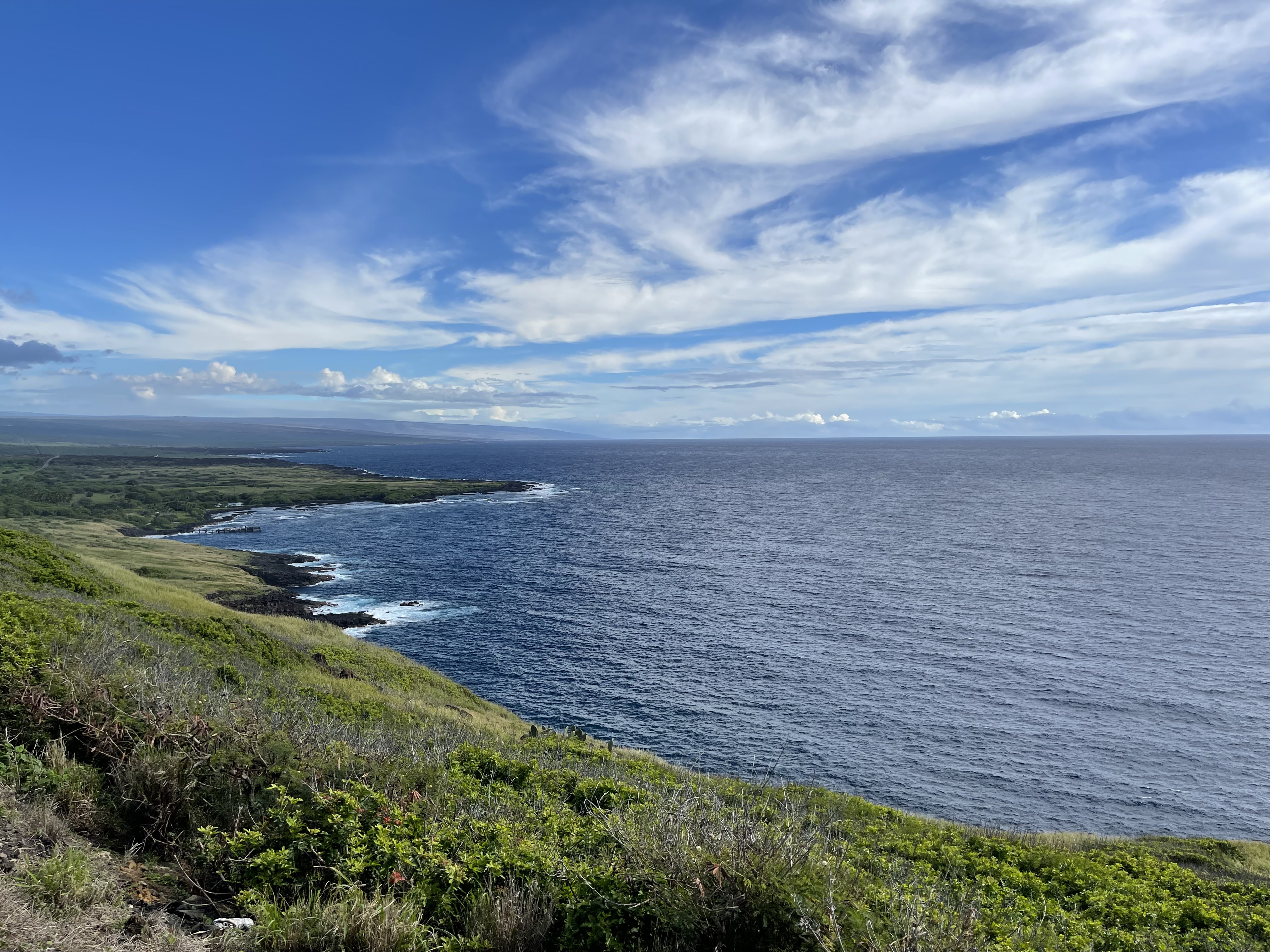
- Kaʻū (South): The most remote and sparsely populated district. It's a vast landscape of lava fields, ranchlands, the famous Punaluʻu Black Sand Beach, and the southernmost point in the USA, Ka Lae (South Point).
Essential Thematic Maps for Your Trip
Beyond a general road map, you may want specific maps for your planned activities.
Hawaiʻi Volcanoes National Park Map
This is a must-have. You'll receive a free park map and newspaper from the ranger at the entrance station. According to the National Park Service (NPS), this map is your best guide to the park's main features:
- Kīlauea Caldera: The main overlook area near the Kīlauea Visitor Center.
- Crater Rim Drive: The road circling the summit caldera.
- Chain of Craters Road: The 19-mile scenic drive that descends 3,700 feet to the coast, passing numerous craters and historic lava flows.
- Key Trails: Hiking trails like the Kīlauea Iki Trail and the path to Nāhuku (Thurston Lava Tube).
The map clearly marks trailheads, lookouts, and restroom facilities. Always check the official NPS website for current conditions and closures before your visit, as volcanic activity can change access.
Driving Maps and Noteworthy Roads
Your primary map should clearly show the island's three main arteries:
- Māmalahoa Highway (Routes 11 & 19): The main highway that circumnavigates the island.
- Daniel K. Inouye Highway (Route 200): Formerly known as Saddle Road, this high-elevation highway cuts across the island's interior between Mauna Kea and Mauna Loa. It's the fastest way to get between Kona and Hilo.
- Kona Coffee Belt (Route 180 & Māmalahoa Hwy): The smaller, winding roads in the uplands above Kailua-Kona are where you'll find dozens of coffee farms.
Your map should also implicitly warn you about roads where rental car agreements may be void. Driving to the summit of Mauna Kea or down to the green sand beach at Papakōlea often violates rental contracts. While many do it, you are financially liable for any damage or towing.
Hiking Trail Maps
For serious hikers, a general road map won't suffice. Apps like AllTrails are a great starting point for discovering trails and reading recent reviews. However, for remote or challenging hikes like those in Waipiʻo Valley or the backcountry of the national park, a dedicated topographic map is invaluable. The U.S. Geological Survey (USGS) provides highly detailed topographic maps for the entire state.
Final Thoughts on Navigation
Navigating the Big Island is part of the adventure. Embrace the journey, and don't be afraid to take a scenic detour. A map gives you the freedom to do that, allowing you to discover a hidden beach or charming small town that wasn't on your original itinerary. Keep an eye on your gas tank, especially when crossing Saddle Road or driving through Kaʻū, as gas stations can be few and far between.
While a good map is essential, it's just one piece of the puzzle. For a complete overview of planning your trip, you'll want to build a solid daily plan. A good place to start is our guide on creating a 7-Day Big Island Itinerary.
Related Reading
- Driving on the Big Island: /blog/big-island-driving-tips
- A First-Timer's Park Guide: /blog/hawaii-volcanoes-national-park-guide
- When to Visit: /blog/best-time-to-visit-big-island